Fichier:Foundiougne arrondissements.png
De wiki_fatick_inventaire
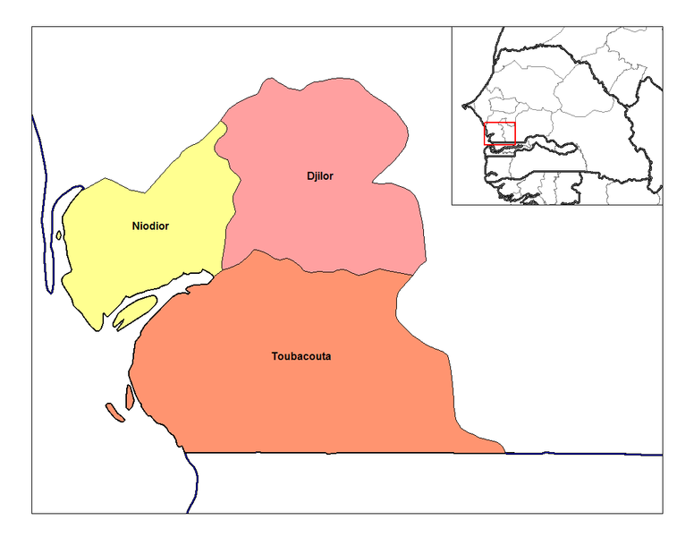
Révision de 18 avril 2012 à 00:16 par Brunet (discuter | contributions) (English: Map of the arrondissements of Fatick department in Senegal. Français : Carte des arrondissements du département de Fatick au Sénégal. Rarelibra, using MapInfo Professional v8.5 and various mapping resources.)
Pas de plus haute résolution disponible.
Foundiougne_arrondissements.png (776 × 600 pixels, taille du fichier : 81 Kio, type MIME : image/png)
English: Map of the arrondissements of Fatick department in Senegal. Français : Carte des arrondissements du département de Fatick au Sénégal.
Rarelibra, using MapInfo Professional v8.5 and various mapping resources.
Historique du fichier
Cliquer sur une date et heure pour voir le fichier tel qu'il était à ce moment-là.
| Date et heure | Vignette | Dimensions | Utilisateur | Commentaire | |
|---|---|---|---|---|---|
| actuel | 18 avril 2012 à 00:16 | | 776 × 600 (81 Kio) | Brunet (discuter | contributions) | English: Map of the arrondissements of Fatick department in Senegal. Français : Carte des arrondissements du département de Fatick au Sénégal. Rarelibra, using MapInfo Professional v8.5 and various mapping resources. |
- Vous ne pouvez pas remplacer ce fichier.
Utilisation du fichier
La page suivante utilise ce fichier :